
Biodiversity Conservation
NIRAS has over 30 years’ of experience in biodiversity conservation, supporting donors, governments, NGOs and the private sector at global, national, and landscape levels.
We offer extensive in-house expertise focused on conservation in terrestrial and aquatic ecosystems. We provide services such as grant administration, technical assistance for protected area management, spatial analysis of ecosystems, valuation of ecosystem services, biodiversity monitoring, and high-quality desk- and field-based research. NIRAS also supports policymakers and practitioners to develop their capacity to manage and enhance natural capital and monitor and evaluate the impact of their work.
Conservation with Communities & Protected Areas
NIRAS' biodiversity conservation services include developing management and investment plans for terrestrial and aquatic protected areas, strengthening government and non-government institutional capacity, supporting restoration of degraded ecosystems and implementation of community-based conservation interventions. We rely on a suite of tools enabling us to value ecosystem services, identify incentives, facilitate investment and support carbon and bundled Payments for Ecosystem Services (PES) schemes. NIRAS works closely with Indigenous Peoples and local communities to create sustainable livelihood opportunities alleviating pressure on biodiversity and forest resources.
.webp)
Sustainable Forest & Biodiversity Management in Borneo
FUNDER
Asian Development Bank/Government of Indonesia
DURATION
2016 - 2019
CONTRACT VALUE
EUR 3M
NIRAS provided technical assistance to the Government of Indonesia to enhance sustainable forest and biodiversity management in the “Heart of Borneo” region which holds 6% of global biodiversity and provides ecosystem services for 12 million local and indigenous people. We provided technical assistance to strengthen government capacity in relation to sustainable forest and biodiversity management planning and implementation and piloted REDD+ and PES models. The NIRAS team worked closely with the Directorate of Environmental Services and Conservation Areas of the Ministry of Forestry to achieve the overall project goal of improvement in both community wellbeing and sustainable forest and biodiversity management in the selected districts. Key outcomes of the project included: (1) building forestry protection capacity across the 4 provinces and 17 districts of Kalimantan; (2) conducting biodiversity and socioeconomic surveys for Betung Kerihun and Kayang Mentarang National Parks to provide data for management of key ecosystems and effective models of cooperation with communities in and around the parks; and (3) developing two REDD+ pilot projects to provide alternative livelihood options to local communities.
NIRAS provided technical assistance in the “Heart of Borneo” region which holds
6%
of global biodiversity and provides ecosystem services for
12 million
local and indigenous people
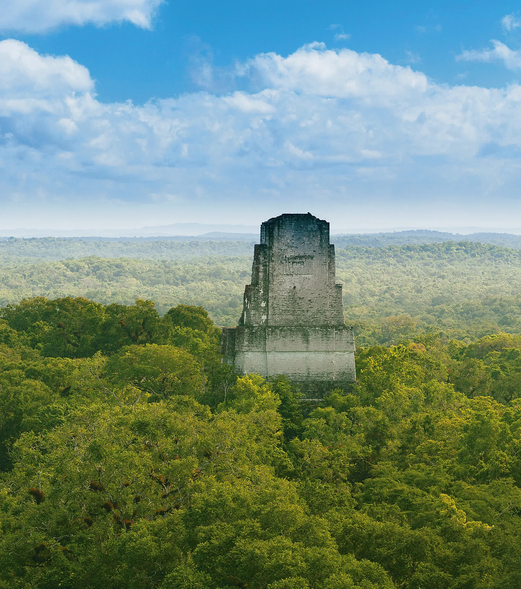
Conservation and Sustainable Use of Selva Maya in Central America Phase 1 & 2
FUNDER
GIZ
DURATION
2013 - 2019
CONTRACT VALUE
EUR 1.2M
NIRAS implemented the Conservation and Sustainable Use of Selva Maya in Central America Phase 1 & 2 project in Belize, Guatemala, and Mexico for GIZ to promote socio-economic development, ensuring a balanced approach to the preservation of this vital ecosystem. Strengthened control mechanisms were put in place to combat forest fires, reallocate land, curb illegal logging, and prevent the illicit trade of endangered species. NIRAS also supported environmental protection authorities and civil society organisations to devise and implement innovative pilot projects focused on generating income from timber and non-timber forest products and eco-tourism. By providing alternative sources of livelihood, these initiatives not only supported conservation efforts but also promoted economic development within local communities.
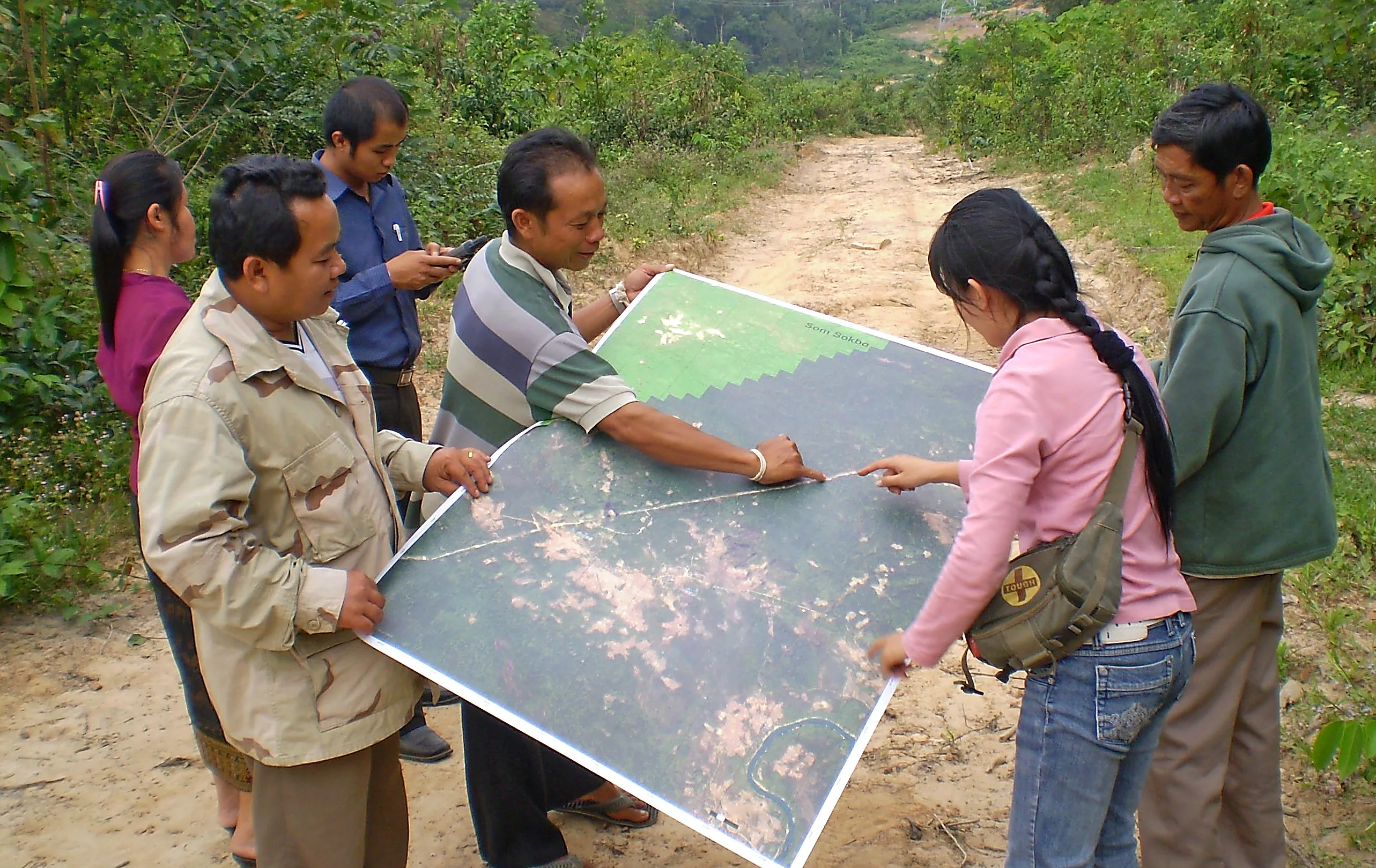
The Agrobiodiversity Initiative (TABI) in Lao PDR, Phase I–III
FUNDER
SDC
DURATION
2009 - 2021
CONTRACT VALUE
EUR 15.5M
The overall goal of TABI was to contribute to poverty alleviation and improved livelihoods of upland communities through sustainable management and use of Lao PDR agrobiodiversity in multi-functional landscapes. NIRAS worked on three phases of TABI starting in 2009. We identified, tested, and disseminated numerous agrobiodiversity-based livelihood models with a positive impact on income, nutrition and ecosystem services, bringing 700,000 ha of land underimproved planning. NIRAS also supported the development of a popular participatory approach for forest and land use planning and management (pFALUPAM), which is based on the specific agroecological zones and land-use of each target village.
NIRAS worked on three phases of TABI from 2009 and identified, tested, and disseminated numerous agrobiodiversity-based livelihood models with a positive impact on income, nutrition and ecosystem services, bringing 700,000 ha of land under improved planning.
Biodiversity & Ecosystem Monitoring
NIRAS has extensive experience in developing monitoring frameworks and systems to improve biodiversity and habitat knowledge bases. Using both remote assessment and field studies, NIRAS conducts baseline assessments of social, economic, and ecological drivers of ecosystem degradation, surveys of key natural habitats and biodiversity using satellite data, and modelling of biodiversity hotspots and biodiversity risk mapping. These essential tools support land managers to assess and manage ecosystems, enable dialogue with land users and improve policy and investment decision-making.
Key services include:
- Detailed biodiversity surveys;
- Biodiversity risk mapping;
- Mapping drivers of habitat loss;
- Biodiversity hotspot modelling;
- Ecosystem valuation.
Spatial analysis to inform ecosystem decision-making: NIRAS creates, manages, shares, and displays spatial and remotely sensed information for multiple purposes that helps users make informed and timely decisions. We use software such as MapInfo, ESRI ArcGIS and open-source GIS (QGIS, ArcGIS, and GRASS) to deliver data capture and cleansing services and high quality outputs, monitoring and analysing project impacts on forest cover.
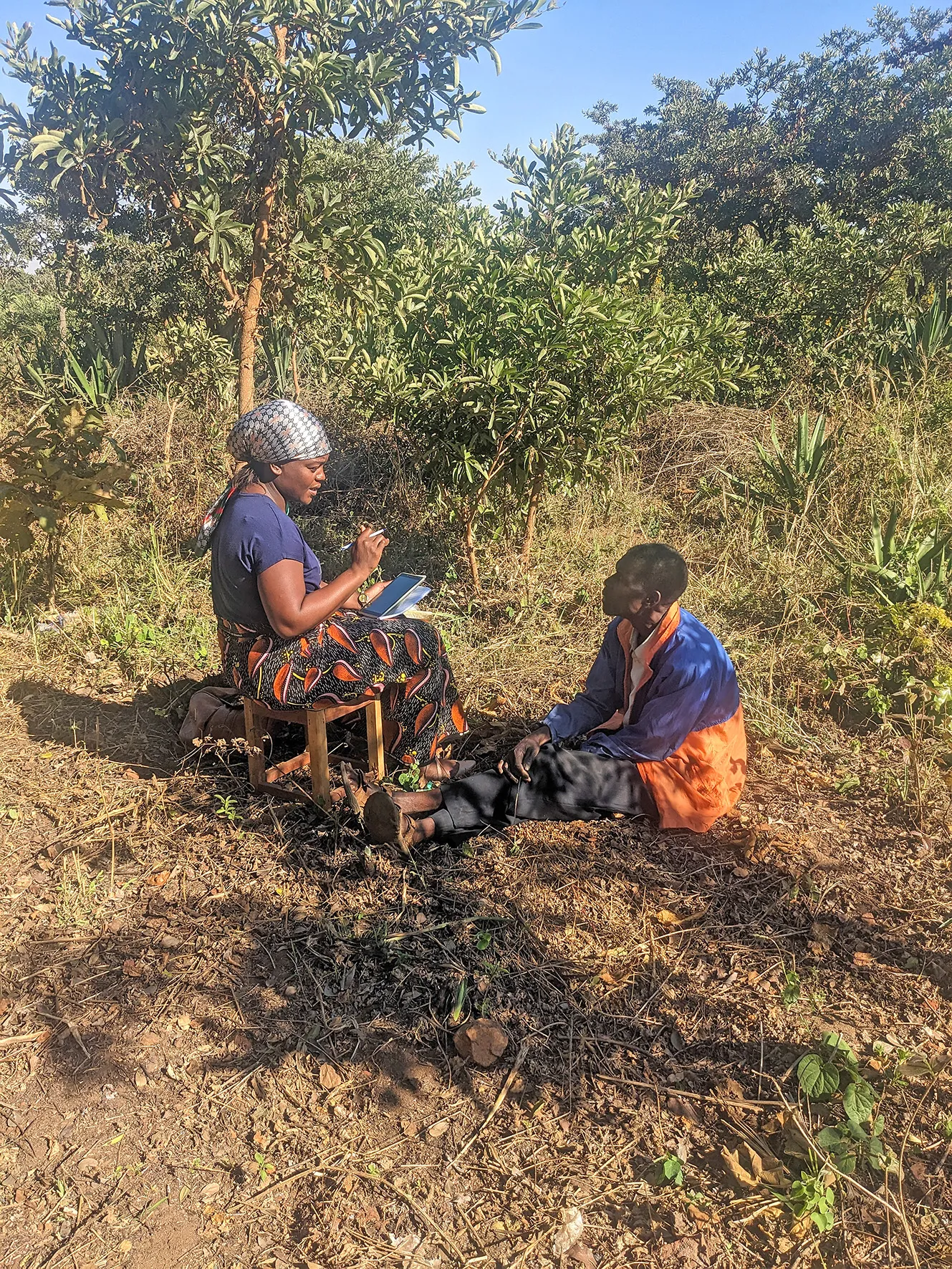
Development of a Biophysical & Ecological Monitoring System (BEMS) in Malawi
FUNDER
World Bank/Ministry of Water & Sanitation Malawi
DURATION
2022 - 2025
DURATION
EUR 224K
Under the Malawi Watershed Services Improvement Project (MWASIP), NIRAS is leading the development and operationalisation of a BEMS to track and report on progress in the nation’s sustainable land management-related policies, strategies and investment plans. The BEMS is giving stakeholders and the Malawi Government insights into the effectiveness of restoration efforts and enables them to better coordinate restoration-related programmes and meet requirements from funding institutions. NIRAS is also focusing on building capacity on the utilisation and management of the BEMS, building adaptive capacity, supporting funding institutions in making more informed investment decisions, better planning and targeting, and mobilising additional finance.

