Climate & Land-based Sectors
.webp)
Agriculture & Food Systems
NIRAS has extensive experience using digital solutions throughout the agricultural value-chain. Tailored to the needs of farmers, we are experienced in deploying technologies that help to modernise farming practices, unlock financing and cashflow issues and link farmers with markets and input suppliers.
What digitalisation can achieve
Digitalising agriculture offers huge opportunities across the agricultural value-chain, with the potential for transformational impact on food security, climate resilience, and poverty reduction for rural people. Farmer productivity can be significantly improved through smart-farming solutions, such as precision agriculture, sensors, and tailored information services to farmers (e.g. extension and weather information services). Digitalising agricultural value chains can also significantly improve farmer market access and financial inclusion (e.g. through e-commerce trading platforms and digital financial services respectively). And governments can use digital systems to enhance public services and support provided to farmers and rural citizens.
The successful implementation of digital approaches in the agricultural sector however requires a full understanding of the local context and strategies to address the wider enabling environment: from the status of digital infrastructure access, to farmer digital behaviours and skills, along with details of the business and regulatory environment.
Services we offer
- Agricultural extension services and training through digital advisory platforms and mobile messaging
- Smart-farming solutions (precision agriculture, sensors, automation, and internet-of-things);
- Geospatial-technologies used for agricultural information services (weather, climate, and pest spatial data);
- Enhancing supply-chain linkages using mobile-phone based web applications and blockchain;
- Enhancing agricultural regional trade and market cohesion using digital platforms and solutions (e-commerce procurement platforms, market prices);
- Digital financial services and instruments tailored to smallholder farmers (mobile money, loans, and banking);
- Enhancing the enabling environment for digital technology uptake in agriculture and transformational impact (including optimisation of policy, regulatory and institutional drivers);
- Developing digital economy business models within digital agriculture ecosystems (technology hubs);
- Strategies for addressing the digital divide in rural agricultural contexts tailored for youth and women (digital connectivity at national and local levels, digital skills training); and
- E-government systems: state agrarian registries, national statistical systems and food stock monitoring systems.
Examples from our work
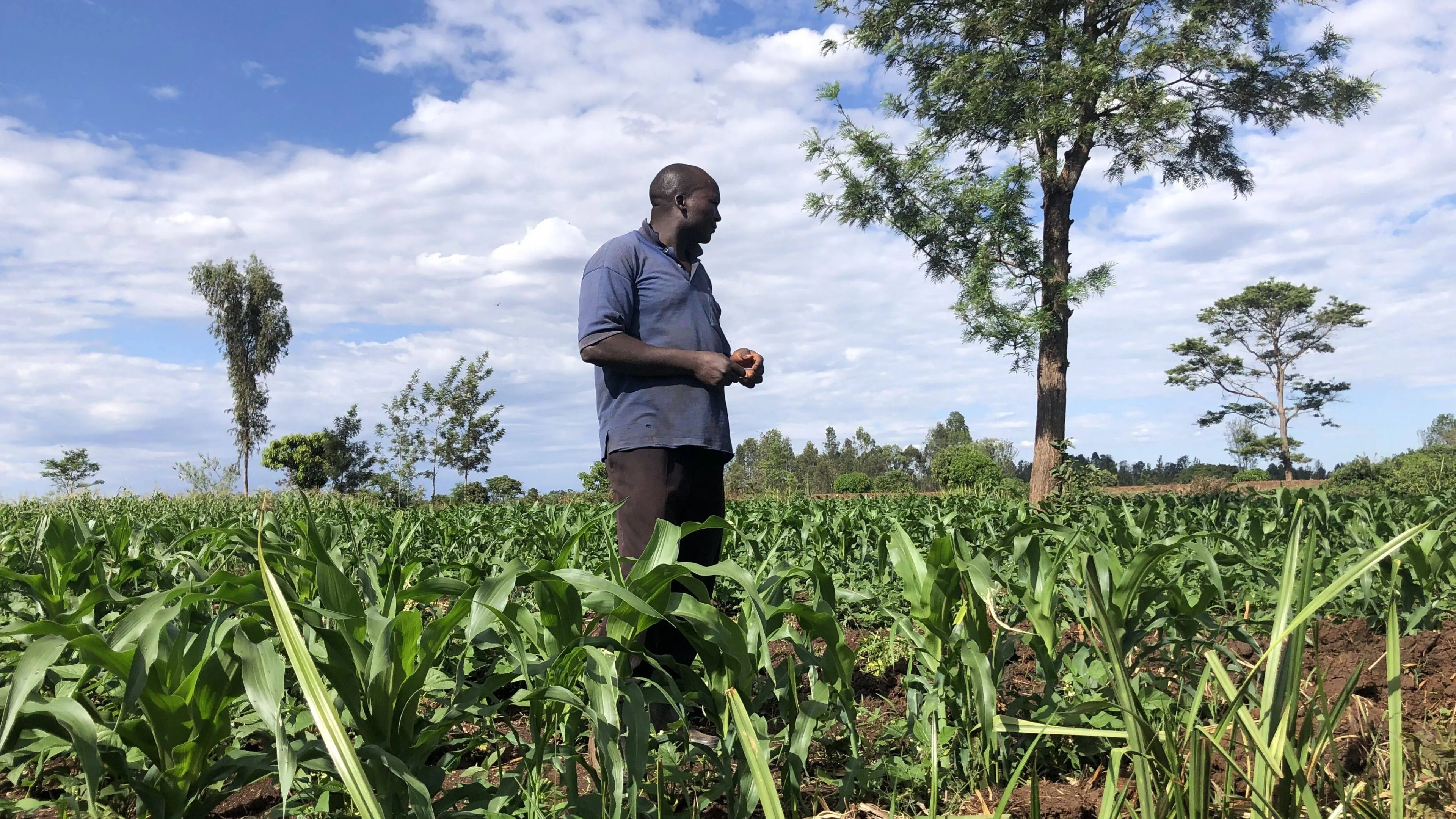
Programme of Support to Agriculture -Technical Assistance Facility (Agri-TAF)
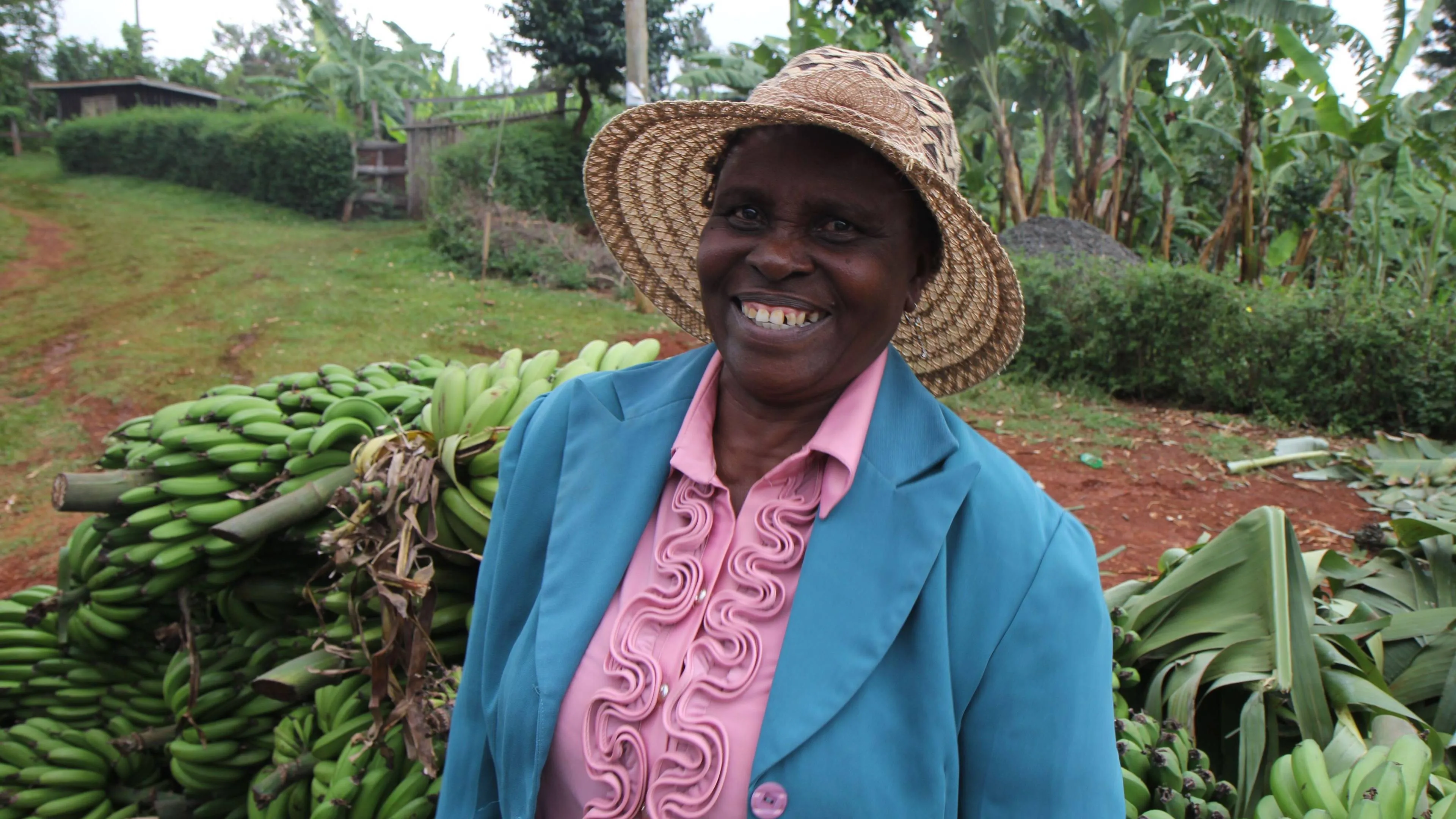
Commercial Agriculture For Smallholders and Agribusiness (CASA) Programme
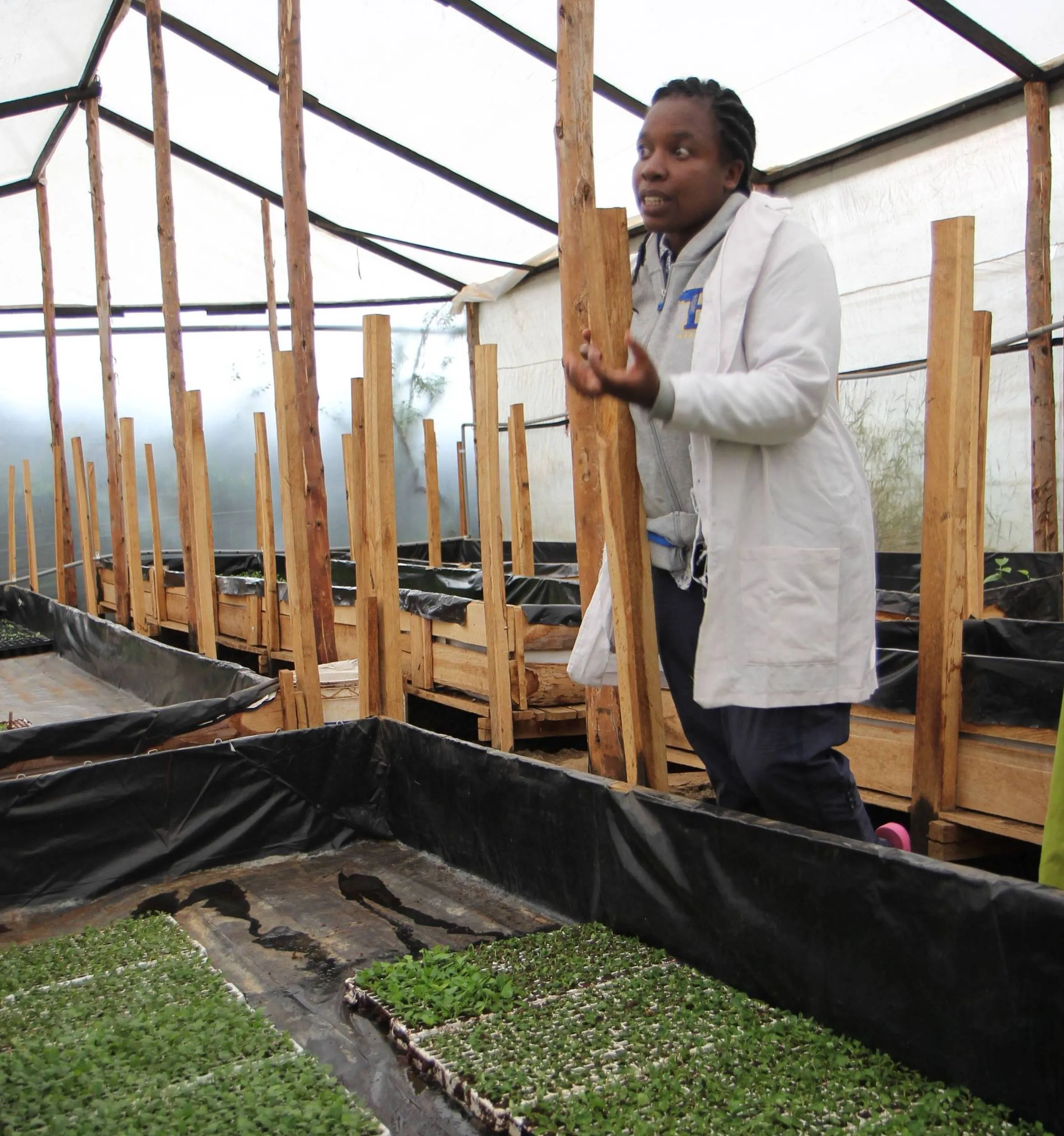
Technical Assistance to the Agricultural Sector Development Support Programme (ASDSP II)
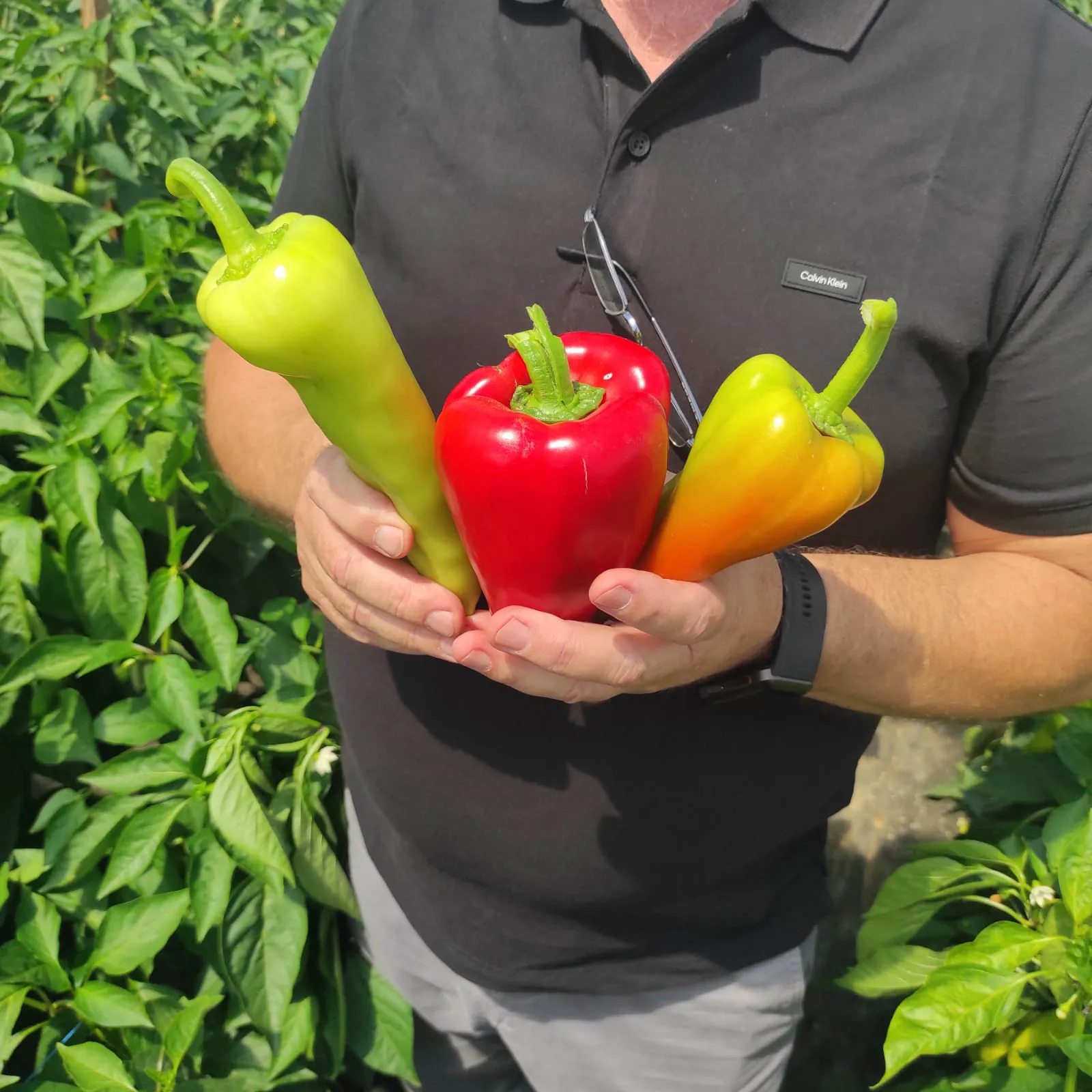
Digital Agriculture Ecosystem Assessments
.jpg)
EU4SmallFarms in Ukraine Project


Forests, People & Biodiversity
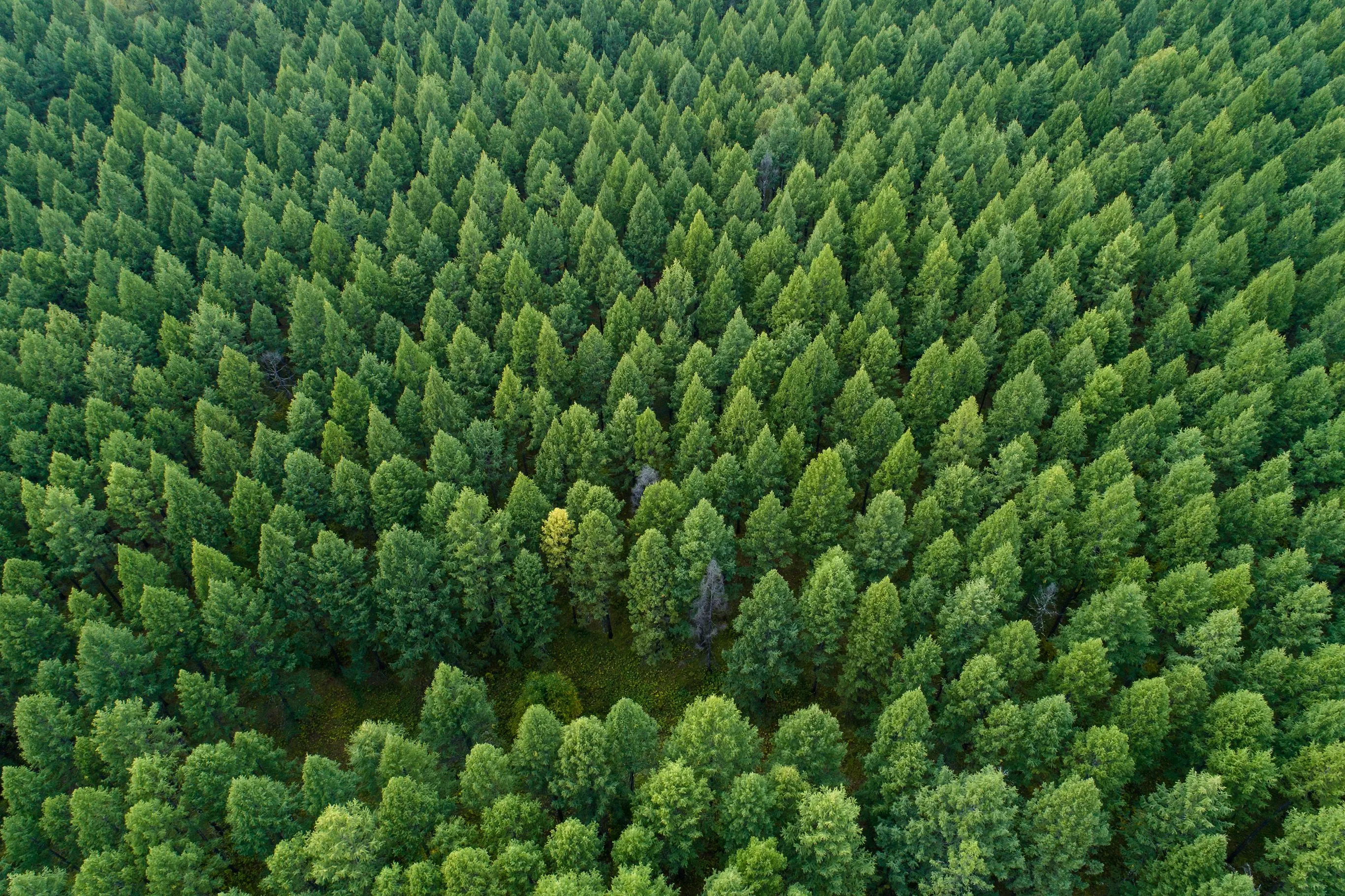
NIRAS has the capability to use a wide range of digital solutions – like forest information systems, earth observation technologies and artificial intelligence – to support improved governance and inclusive decision-making of natural resources.
What digitalisation can achieve
Digital technologies are playing a key role in addressing global threats to forest and biodiversity conservation. Digital technologies like remote sensing and cloud-based information management systems offer vital opportunities in the monitoring of highly dynamic environmental changes, informing decision making and adaptive management. Cost-effective monitoring of difficult-to-measure social and environmental metrics at the local, landscape and global levels is also possible. When integrated into existing institutional processes, digital solutions can strengthen the governance of natural resources. To succeed, digital technologies need to be carefully tailored to the needs of the community end-users and combined with in-depth understanding of the local socioecological context.
Services we offer
- Automating real-time monitoring of biodiversity and forest-related metrics, including land use and socioeconomic metrics, using wide range of technologies (e.g. remote sensing, geographical information systems, drones, ground-based sensors);
- Digital solutions for forest-based value chain development of timber and non-timber forest products;
- Enhancement of forest institution building through e-governance, including support to the formulation of national forest plans, EU Forest Law Enforcement, Governance and Trade Action Plan (FLEGT), and forest reform processes;
- Application of frontier technologies for automating processes and decision making (e.g. artificial intelligence, block-chain, sensors and internet-of-things);
- Forest and biodiversity information systems, development of bespoke systems supporting real-time decision making using cloud-based technologies for data storage and sharing;
- Advanced data science analysis skills to automate the processing and analysis of new large environmental and social data sources;
- Mapping and optimising conservation planning for terrestrial and aquatic environments using GIS and optimisation algorithms respectively;
- Digital solutions for enhancing environmental education, training, capacity building and awareness raising; and
- Platforms to strengthen business models for conservation, linking buyers and sellers (e.g. payment for ecosystem services, REDD+).
Examples from our work
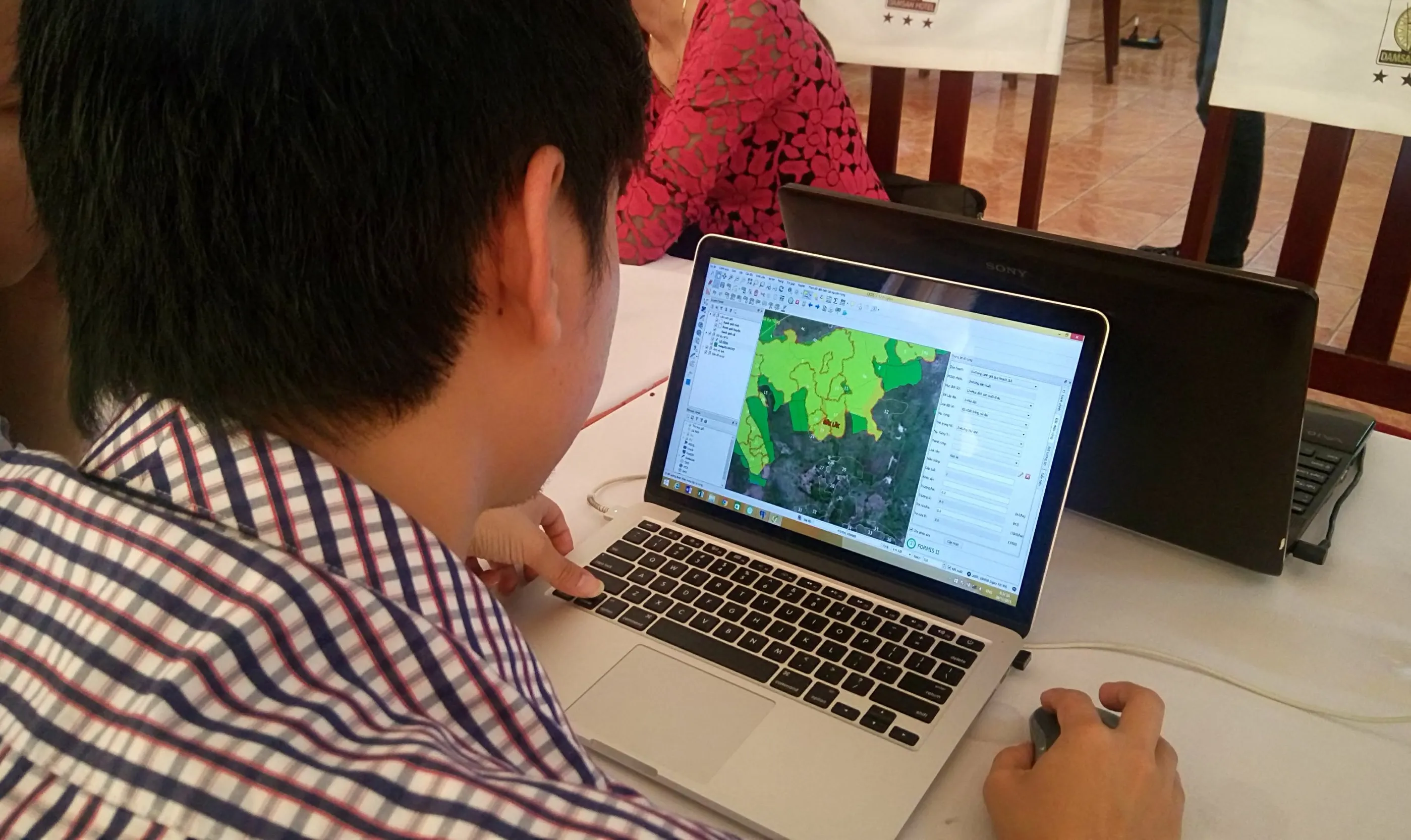
Management Information System for the Forestry Sector in Vietnam (FORMIS)

The Satellite Monitoring for Forest Management (SMFM) project



Climate Resilience & Disaster Risk Management
NIRAS has extensive experience using digitalisation to improve the speed and effectiveness of climate resilience and disaster risk management, from planning to response.
What digitalisation can achieve
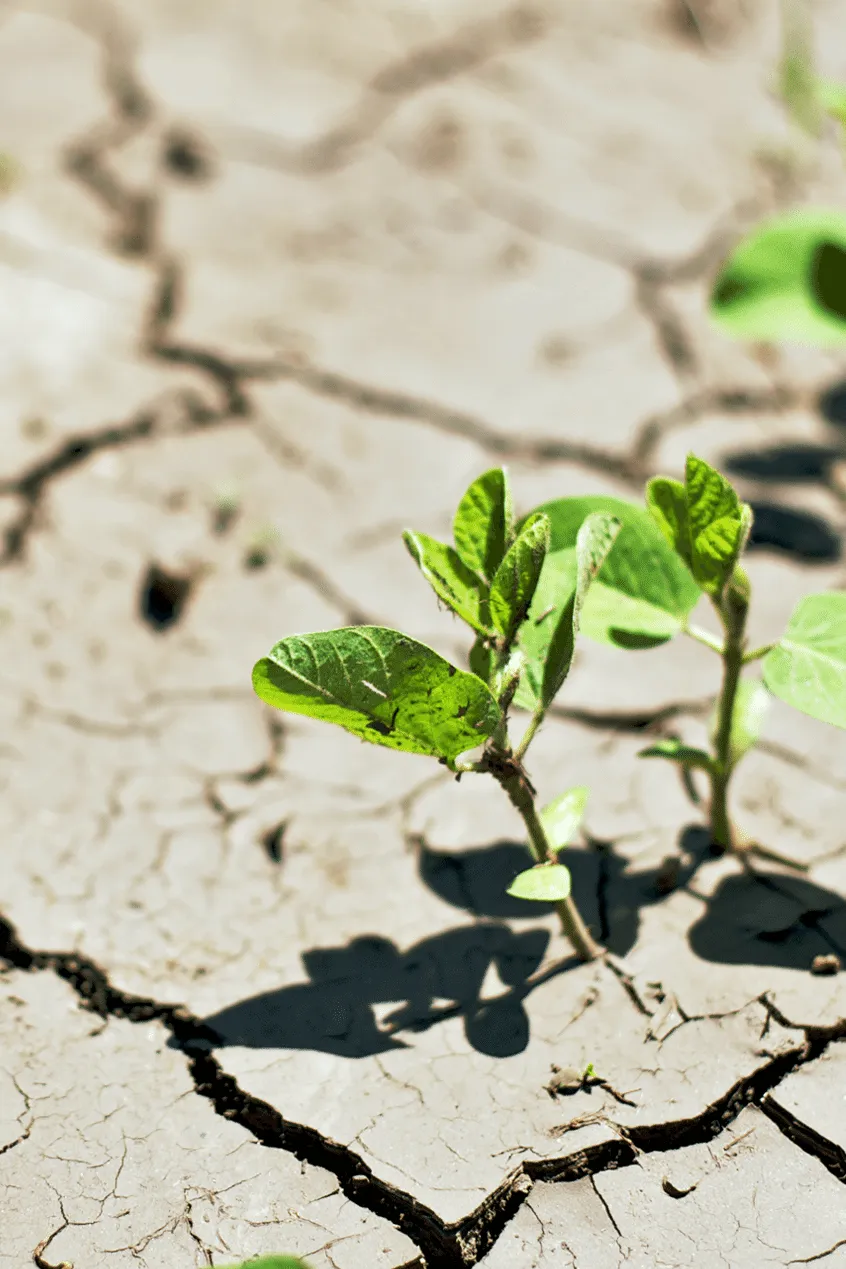
Digital technologies offer huge opportunities to strengthen the resilience of vulnerable communities to the impacts of climate change, including the establishment of early warning systems. Geospatial and earth observation technologies like satellite-based data and ground-based sensors offer unique opportunities to automate the monitoring of climate risks and risk plans. Software and cloud-based technologies such as web-based applications and platforms allow decision-makers to better interact with information in real-time and respond faster. Mobile-phone messaging and tailored applications improve two-way communication between authorities and end-user communities. Digital technologies are also playing a key role in improving the transparency and accountability in climate finance processes and impact, increasing investor confidence.
Services we offer
- Support to governments in the integration of digital technologies and solutions to improve real-time disaster detection and response (e.g. automation of early warning systems, mobile-phone alerts messaging);
- Resilient urban development planning and capacity building using digitalisation (use of new climate, socioeconomic, infrastructure digital data sources) and information-sharing platforms with citizens;
- Use of digital data and technologies to map and assess vulnerability and hazard risks in real-time through automation;
- Advisory and technical services to improve the transparency and impact of climate finance processes through a full range of digital technologies (e.g. data disclosure on climate impacts of investments, platforms for Voluntary Carbon Credit market, digital insurance products, data flow automation);
- Use of digital technologies to map and optimise ecosystem-based adaptation and nature-based solutions for conservation / restoration plans and monitor activities in real-time;
- Cloud-based decision-support systems and simulation models using software automation and artificial intelligence for integrated water resource management and climate-adapted water infrastructures; and
- Use of cutting-edge digital technologies in coastal zone management to design solutions and monitor environmental coastal conditions (e.g. MIKE-software, CFD-models, 3D-CAD software, GIS in our work).
Examples from our work
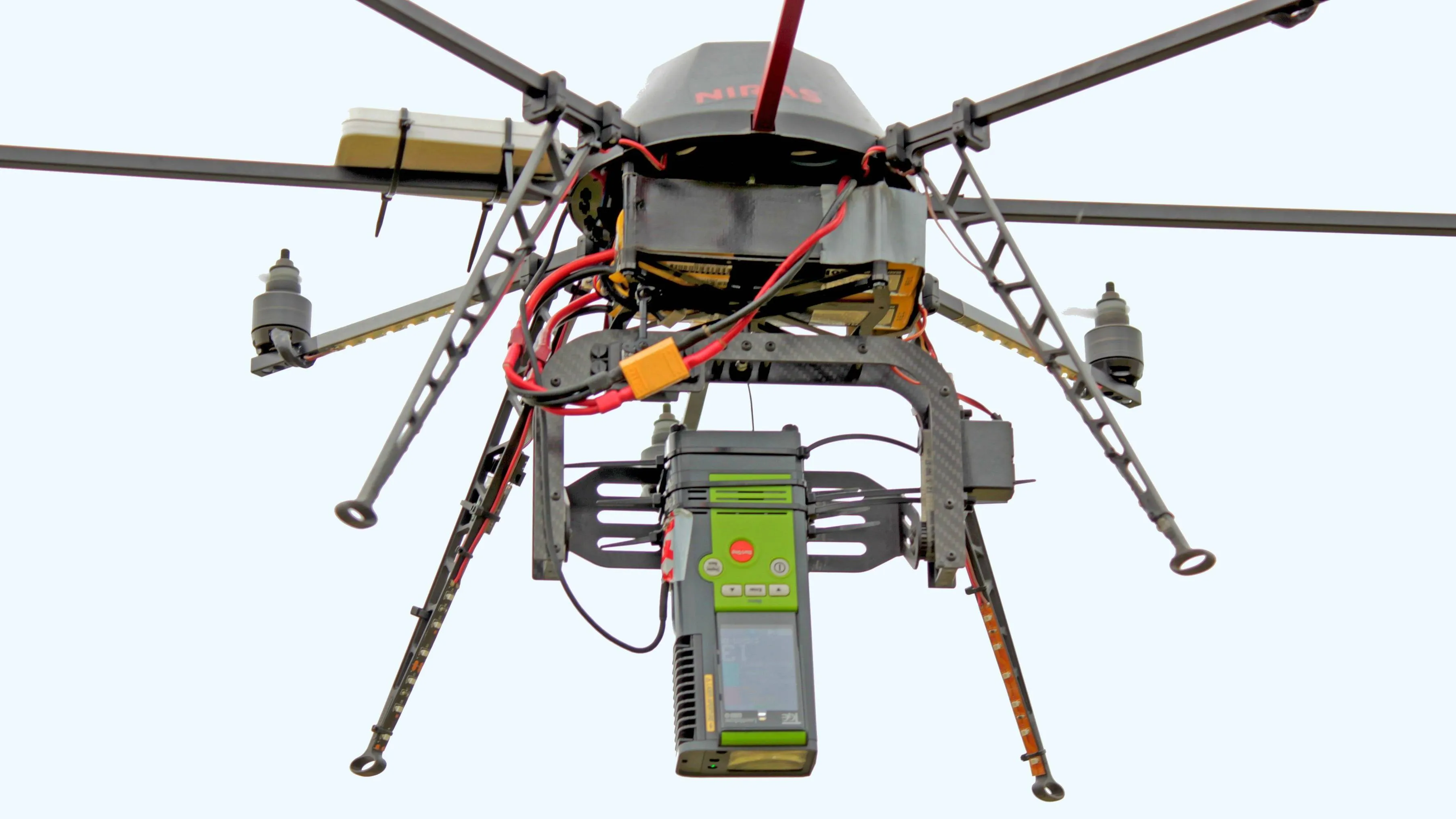
Mapping coastal erosion as part of a larger coastal protection project in Gambia and Malawi
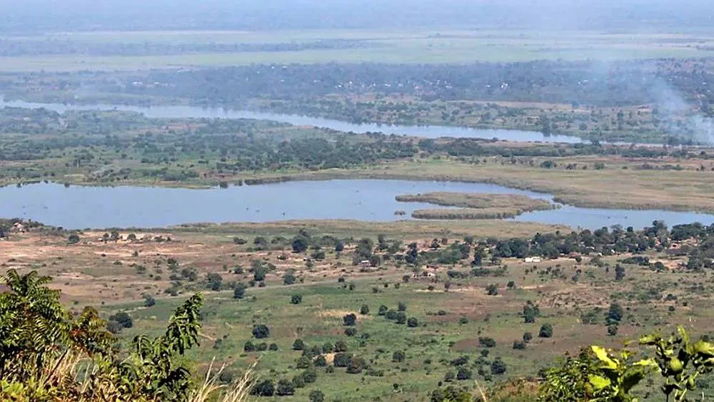
Shire River Basin Institutional Planning and Decision Support System project
.webp)
Strengthening Rural Resilience in East Paraguay
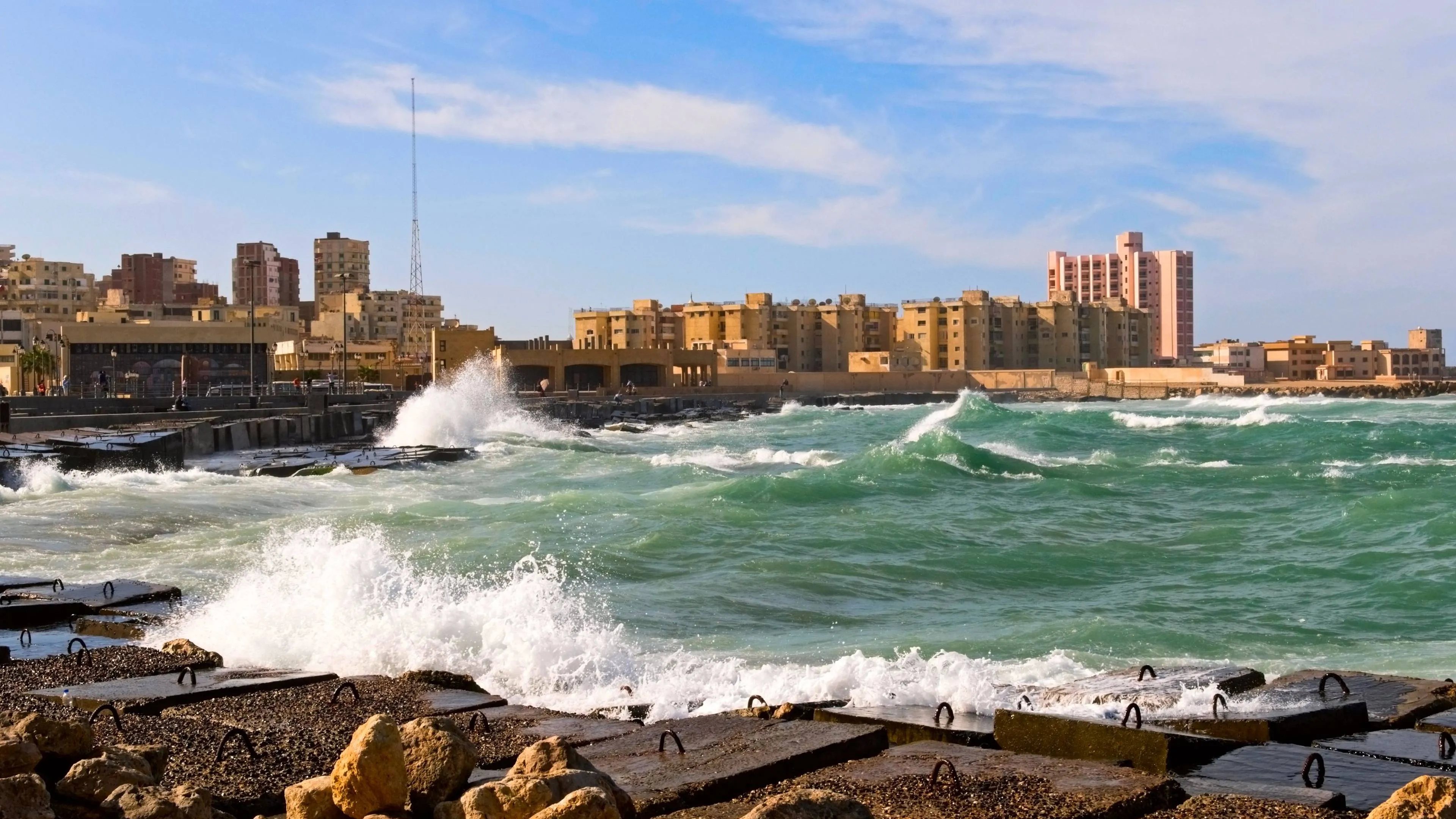
Development and Implementation of a climate resilient ICZM plan for the North Coast of Egypt


%20(1).webp)
Land Tenure & Governance
NIRAS has extensive experience using digitalisation to strengthen land administration systems, tailored to a wide range of country contexts across Africa, Asia, Europe and Latin America.
What digitalisation can achieve
With over 70% of land rights in developing countries currently undocumented, digitalisation offers crucial opportunities to provide affordable and fit-for-purpose digital methods to record land tenure and manage and use the data. NIRAS has developed official digital legal land registries (i.e. cadasters) for several countries by using geospatial technologies (satellite images, remote sensing, drones) combined with field participation, social inclusion and legal verification processes. Often we have linked or merged these legal cadasters with land information systems and developed applications for other sectors. For example, we have developed processes for banks to use the land as collateral for loans, efficient crop insurance services, and better land use planning. We also know how to design digitalisation around stakeholders' needs and capabilities and according to the political, social and legal environment.
Services we offer
- Digital legal cadastre systems that manage land registration and all transaction processes (inheritance, sale, exchange, expropriation etc.) and planning and management of processes to use digital technologies to conduct large-scale land registrations and/or transform from manual land registries to digital registries;
- Land information systems that combine all cadastre information with other land information (current land use, mortgages, taxation, soil data etc.);
- Mapping and data collection capabilities using frontier digital technologies (remote sensing, GPS, drones, internet-of-things);
- Training and capacity building for land administration professionals and other key stakeholders:
- Development of integrated and cost-effective digital transformation strategies suited to context-specific needs (social, legal and political) across the land tenure continuum;
- Participatory approaches that include mapping the rights-holders of the land;
- Advisory services for developing enabling environments for digital transformation (technical, political, financial, social and legal factors);
- Developing policies, laws and institutional frameworks for enabling inclusive digitalisation of land administration systems;
- Data protection and privacy considerations, reducing risks for misuse of information for social control and exclusion; and
- Integration of digital land administration systems into national e-government developments.
Examples from our work
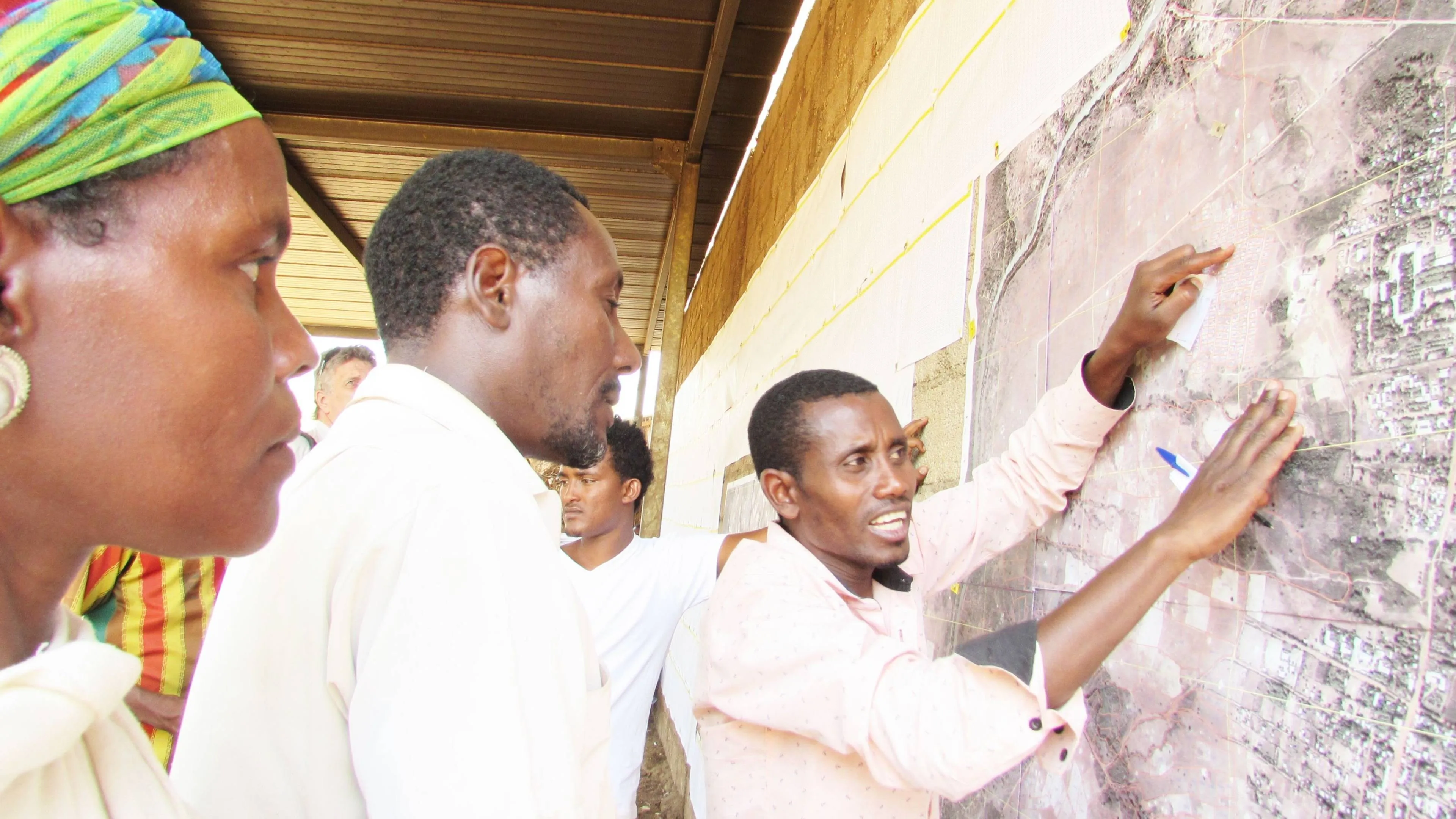
Responsible and Innovative Land Administration Project (REILA I and II 2011- 2023)
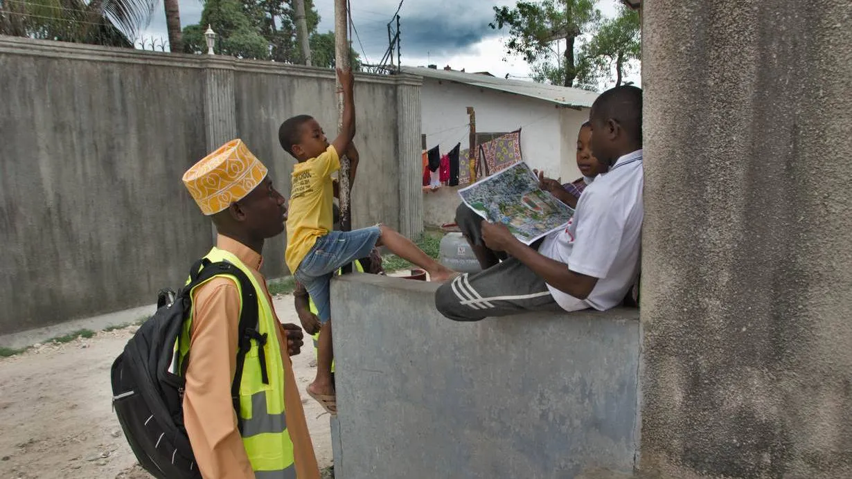
Sustainable Management of Land and Environment (SMOLE)
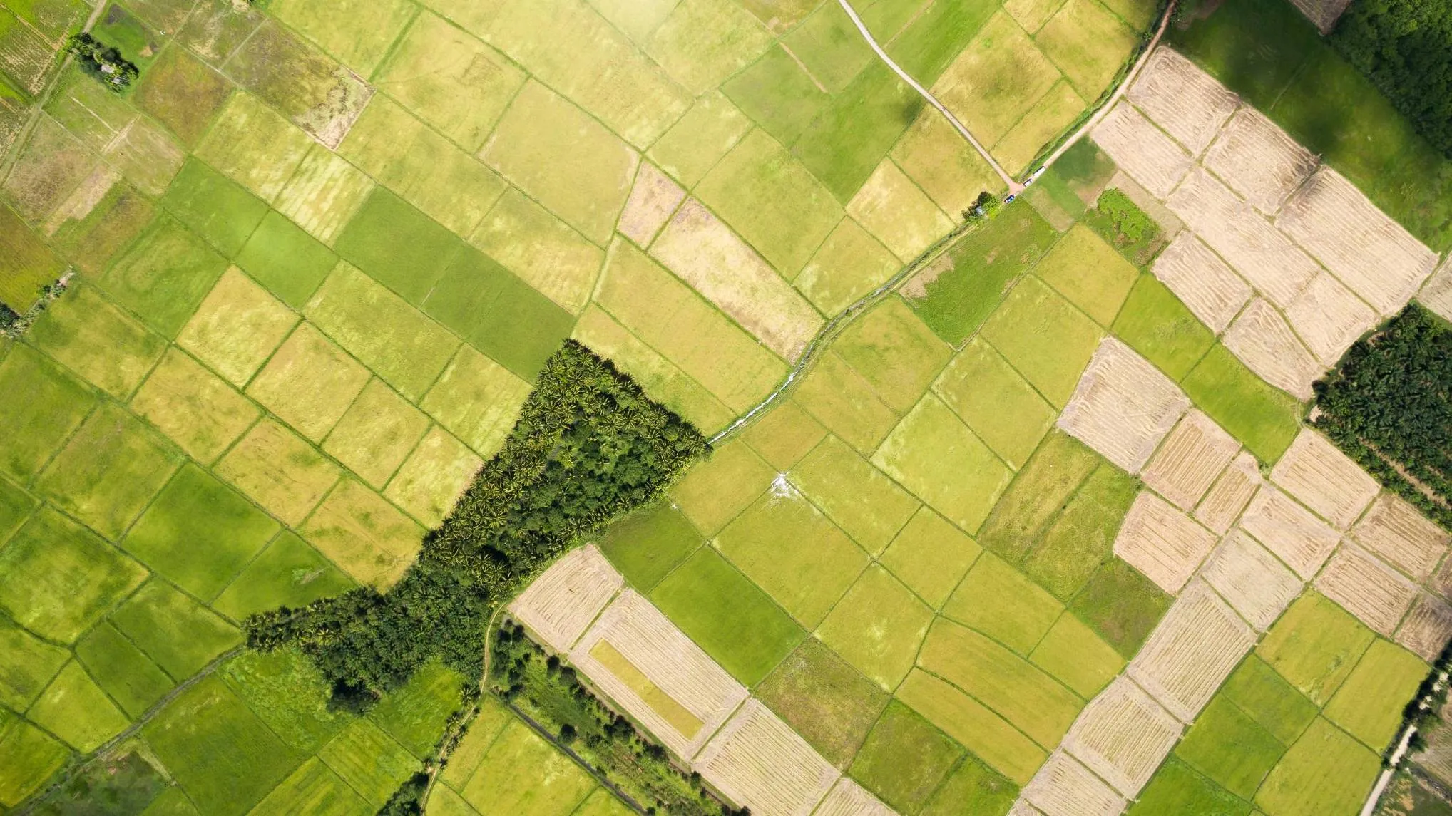
Implementation and Enforcement of Rural Spatial Planning