
Custom GIS applications
NIRAS develops custom GIS applications and web-based mapping solutions that enable users to access, visualise, analyse, and manage geographic data through intuitive interactive platforms. Combining ArcGIS technologies with bespoke development expertise, we create tailored GIS tools that improve workflows, automate processes, and enhance decision-making across environmental, marine, and development sectors.

What we Offer
- Custom web-based and mobile GIS application development
- Interactive mapping and spatial data visualisation
- Bespoke GIS tools and workflow automation
- Customisable map symbology and user interfaces
- Spatial data import, export, and management tools
- Interactive dashboards and map-sharing solutions
- GIS applications for environmental assessments and monitoring
- Satellite data integration and analysis tools
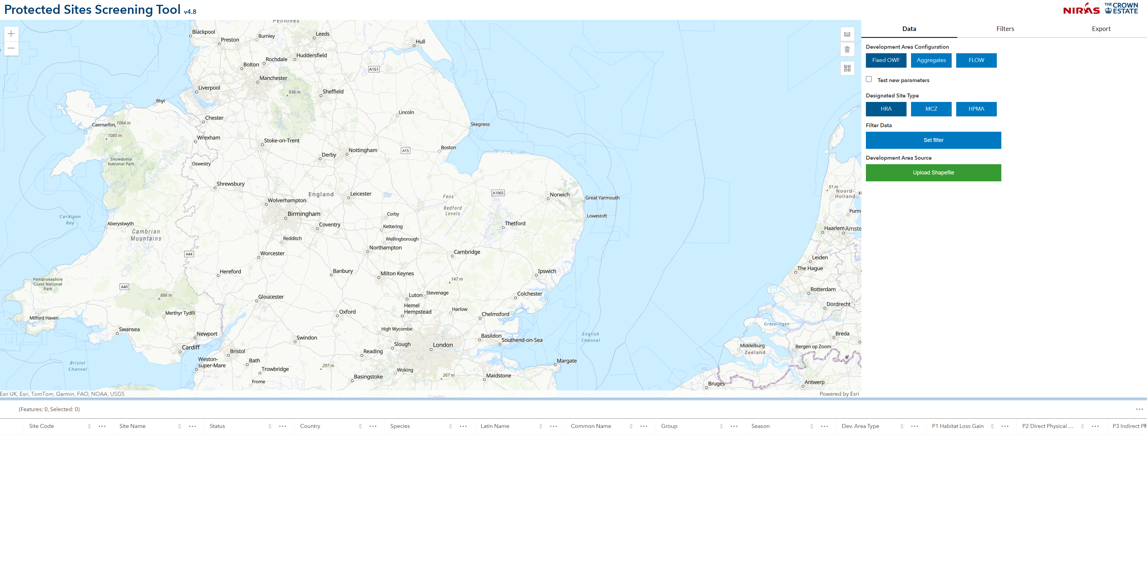
Protected Species Screening Tool (The Crown Estate)
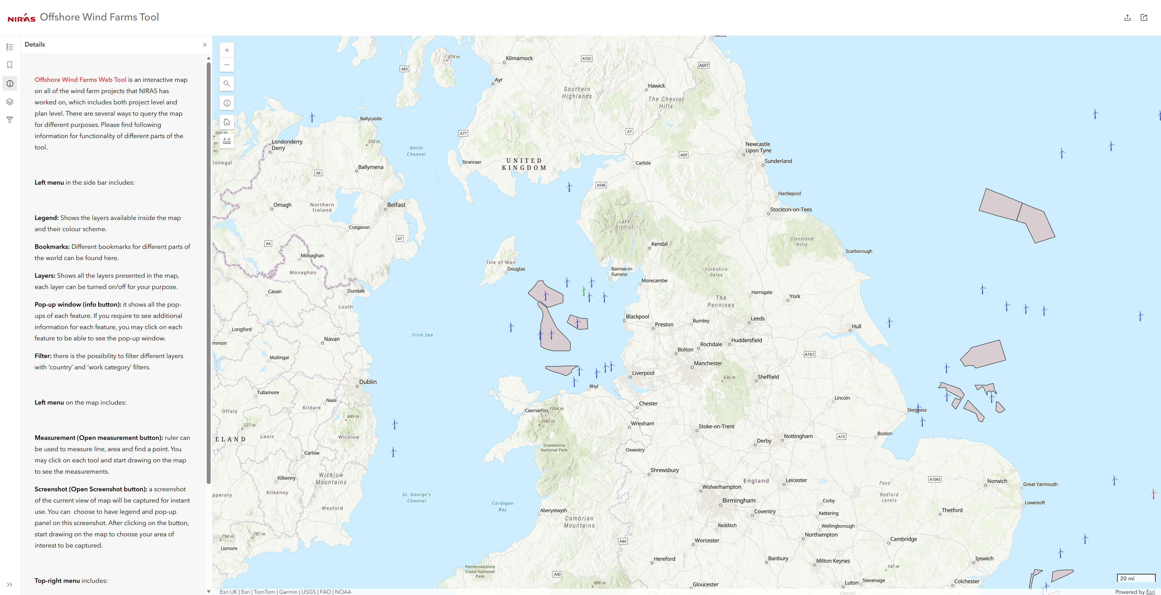
Offshore Windfarm Tool (NIRAS)
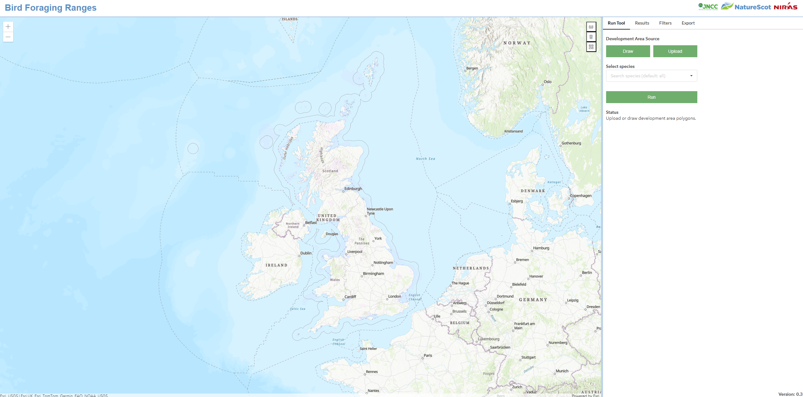
Bird Foraging Ranges Tool (NatureScot / JNCC)
Developing accessible and interactive GIS tools capable of managing complex spatial datasets while improving efficiency, analysis, and stakeholder engagement.
NIRAS designed and developed bespoke web-based GIS applications using ArcGIS Online, ArcGIS Enterprise, and custom development frameworks. Solutions included interactive mapping tools, automated workflows, data visualisation interfaces, and satellite-data-driven monitoring systems tailored to project requirements.
The applications improved data accessibility, streamlined spatial analysis processes, and supported more innovative and interactive approaches to environmental assessment, monitoring, and reporting.

