
Spatial planning and environmental analysis
NIRAS provides spatial planning and environmental analysis services that support informed site selection and sustainable development decision-making. Using GIS, multi-criteria analysis, and stakeholder engagement, we assess environmental risks, evaluate spatial data, and develop tailored solutions that balance environmental, technical, and social considerations.

What we offer
- Spatial planning and site selection analysis
- Environmental risk and constraint mapping
- Multi-criteria spatial analysis and decision support (analytic hierarchy process (AHP) and MARXAN)
- Data gathering, cleansing, and management
- Geostatistical modelling (such as predictive distribution mapping)
- Stakeholder engagement and alignment workshops
- GIS-based weighting and scoring methodologies
- Interactive web-based reporting and visualisation
- Static maps and risk-based spatial layers
Red-throated Diver Spatial Modelling
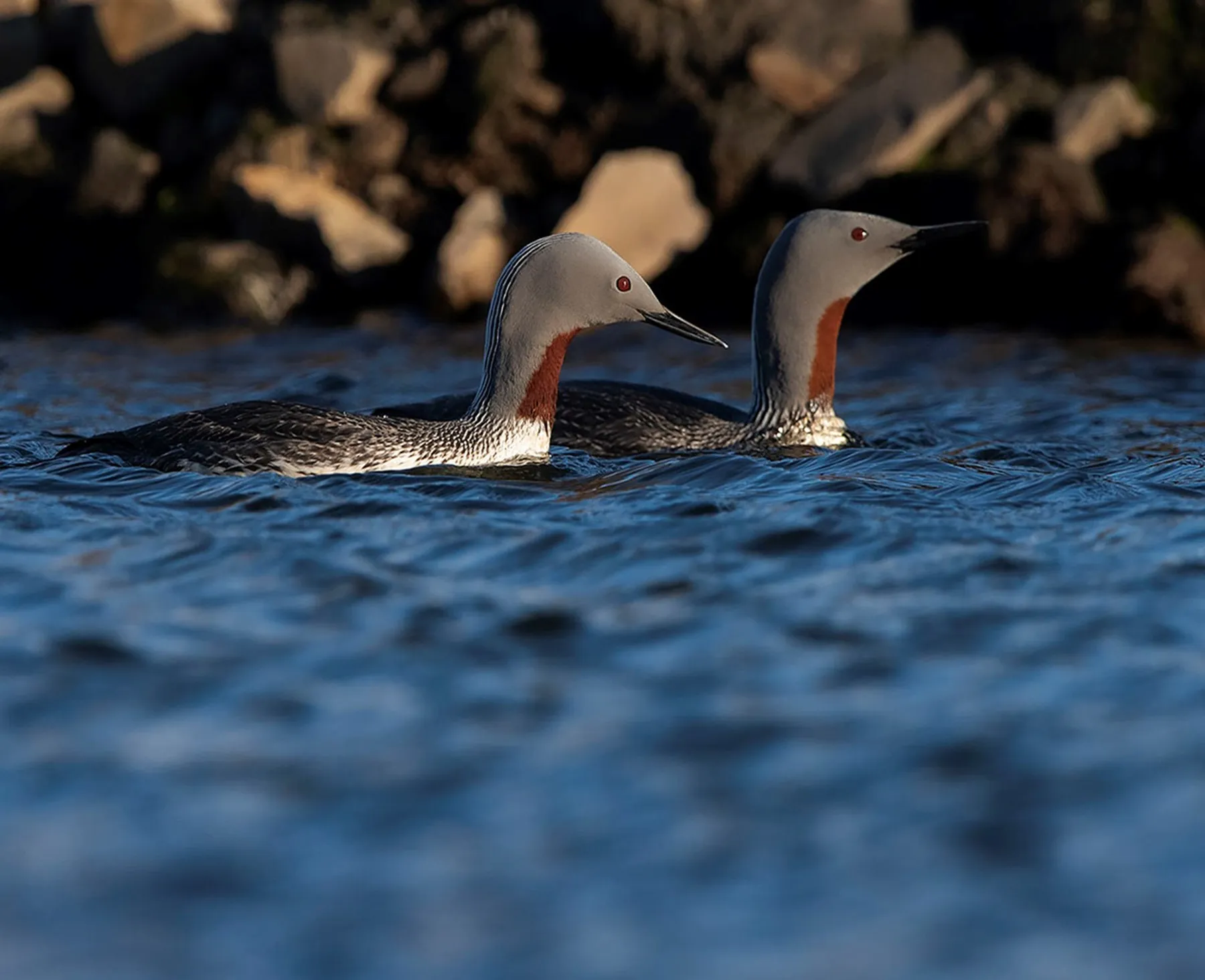
Model the at-sea distribution of red-throated diver and identify key spatial drivers. Including dynamic and static environmental variables.
Deliver this work within the context of complex spatial datasets and limited understanding of marine ecosystem dynamics.
NIRAS obtained, standardised, and quality-assured GIS datasets describing relevant variables.
Spatially explicit models were developed to describe current distributions and predict red-throated diver responses to hypothetical future scenarios.
Outputs were presented through maps, spatial risk layers, and technical reports providing both quantitative and qualitative assessments of potential ecological outcomes.
The project delivered robust, evidence-based insights into drivers of red-throated diver spatial distributions.
Outcomes can be utilised to inform ecological outcomes of future scenarios of change.

