Remote sensing
NIRAS uses remote sensing and geospatial technologies to detect, monitor, analyse, and visualise environmental and spatial changes over time. By gathering and interpreting accurate geospatial data from satellites, aircraft, and other sources, we support informed decision-making that advances environmental, social, and economic goals in development contexts.
What We Offer
- Collection and organisation of accurate geospatial and remotely sensed data
- Analysis and interpretation of spatial and environmental changes over time
- Web-based and offline geospatial data visualisation platforms
- Remote sensing solutions for water, forestry, ecosystems, and climate change projects
- Spatial information management to support timely and informed decision-making
Bio-physical and Ecological Monitoring System (BEMS) Malawi Ministry of Water and Sanitation and Department of Land Resources Conservation
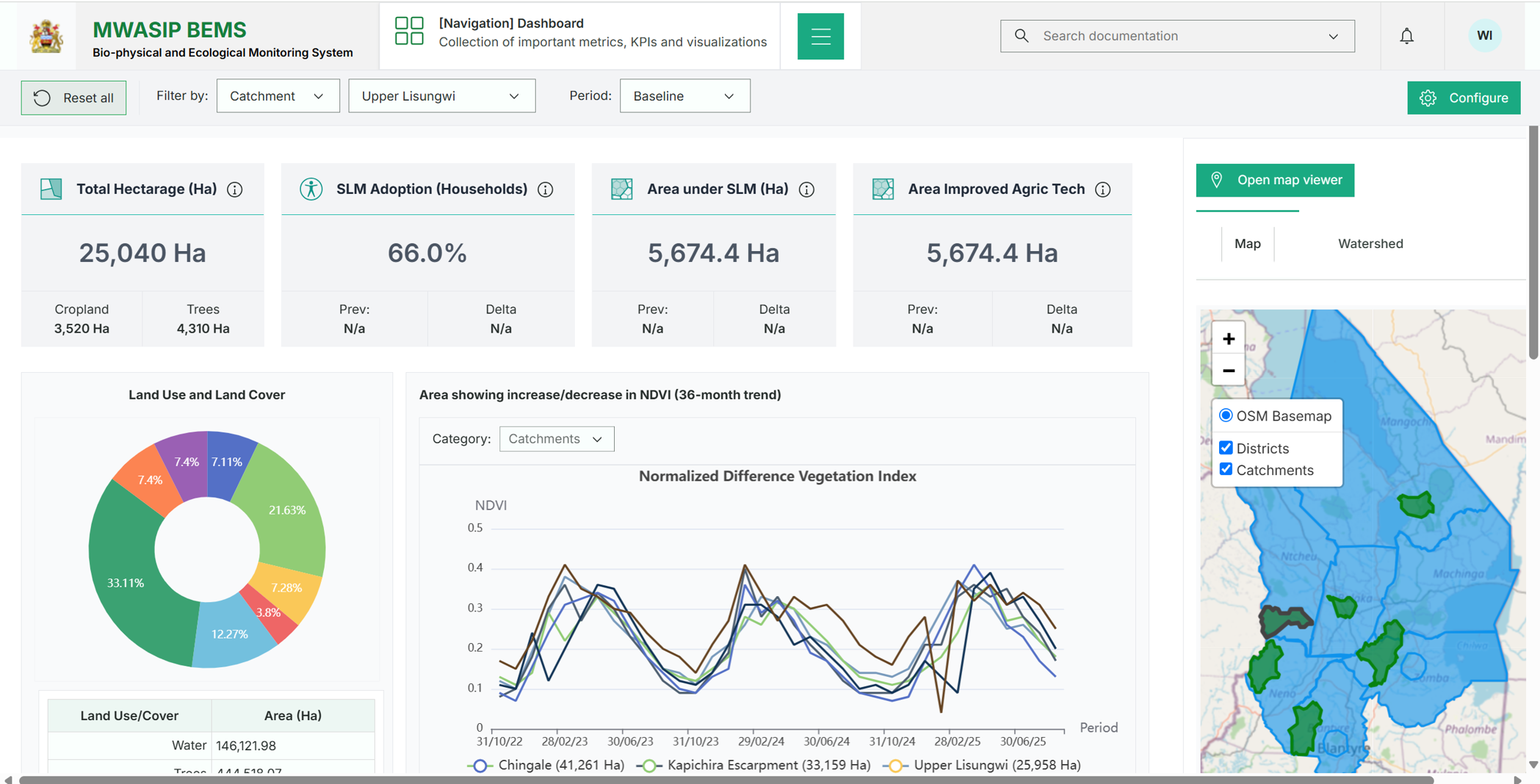
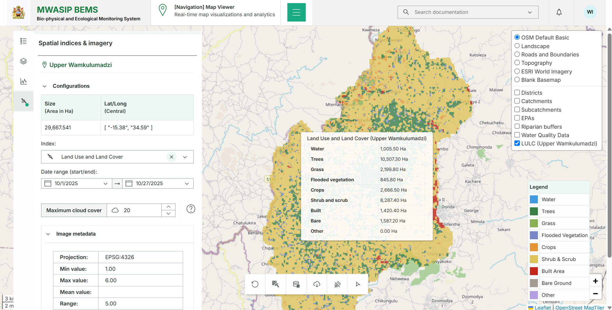
Monitoring environmental and spatial changes across project sites and geographies while ensuring accurate and timely data for decision-making.
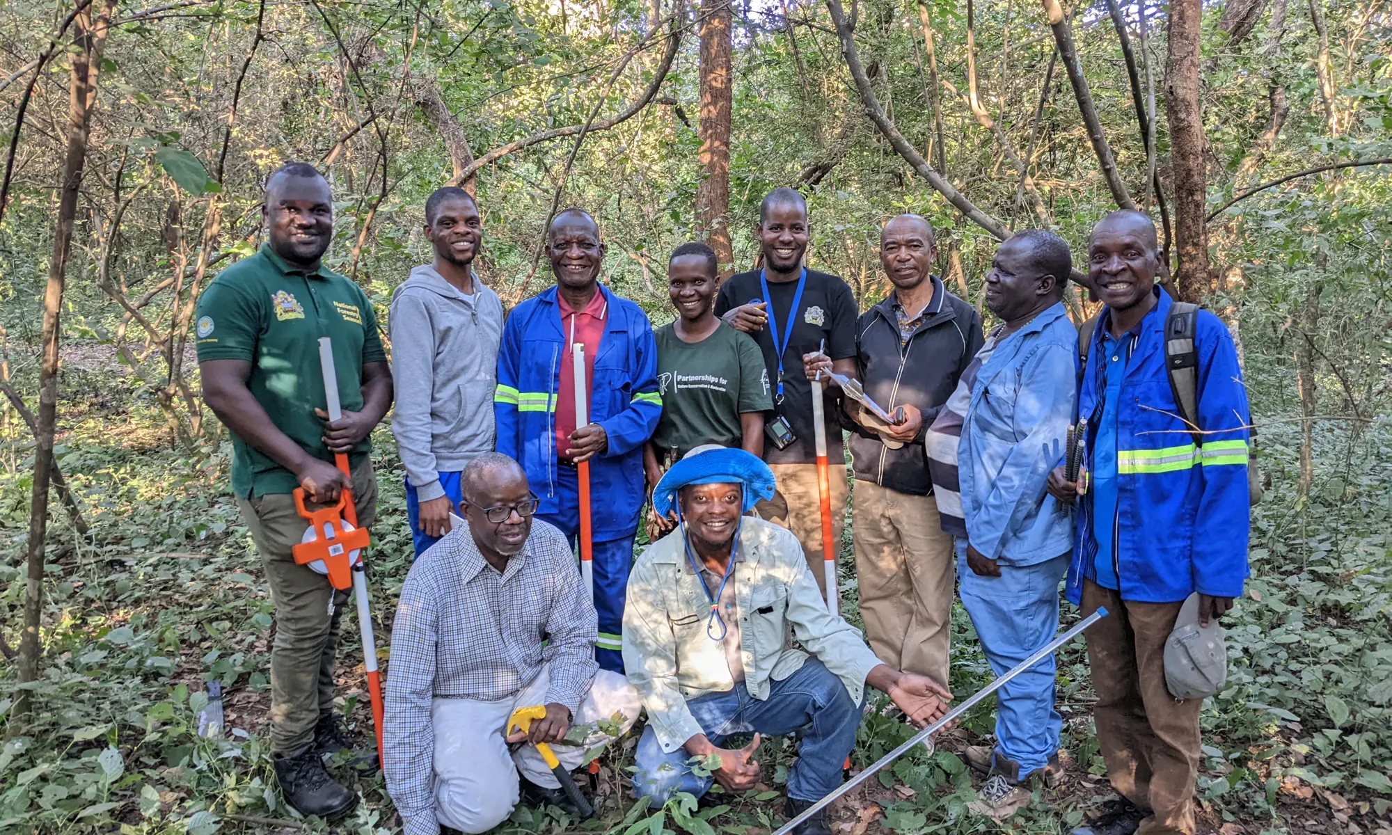
NIRAS applied remote sensing and geospatial technologies to gather, manage, analyse, and display spatial data from satellite and aerial imagery. Results were interpreted and visualised through web-based and offline platforms.
We developed and operationalised an advanced spatial data infrastructure and analytic capabilities for an effective and scalable biophysical and ecological monitoring system — enabling policymakers to track and report progress on sustainable land management policies, strategies, and investment plans, coordinate restoration-related programmes, and meet requirements from funding institutions.
This was pursued through four specific objectives:
- Develop an indicator-based monitoring framework
- Collect and manage spatially referenced baseline data
- Design, test, and deploy an online dashboard and data system
- Build capacity for data analysis and use
- Ensure long-term institutional sustainability within DLRC and MWASIP
Improved access to accurate spatial information enabled informed environmental and development decisions supporting sustainable social, economic, and environmental outcomes.
NIRAS harnesses digital innovations to monitor ecological changes in Malawi