
Digital reporting and visualisation
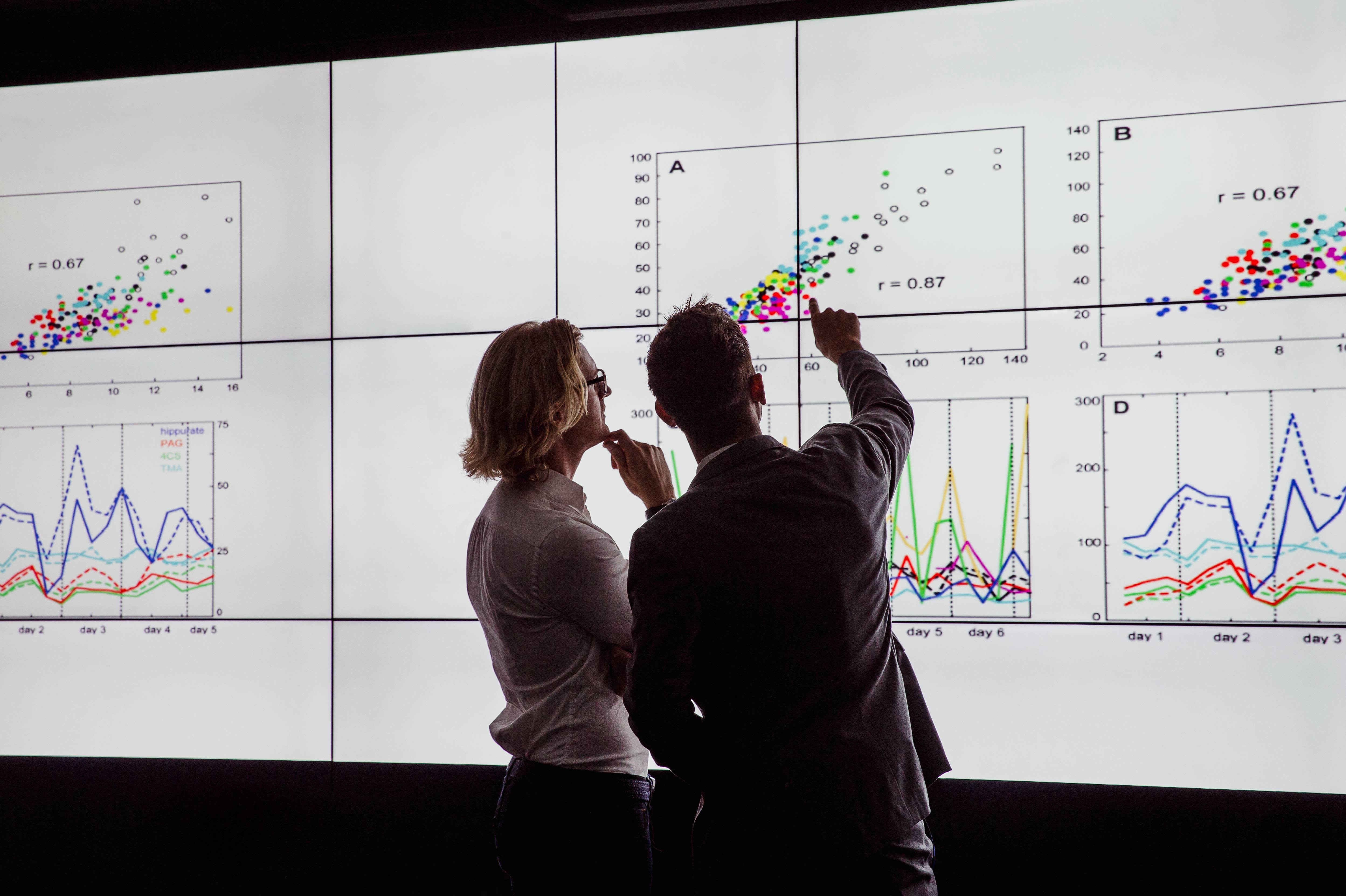
NIRAS delivers digital reporting and visualisation solutions that transform complex technical information into engaging, interactive, and accessible user experiences. Using web-based mapping technologies, dashboards, and data visualisation tools, we create dynamic reporting platforms that improve data exploration, stakeholder engagement, and decision-making.
What we offer
- Interactive digital reporting platforms
- Web-based GIS mapping and visualisation
- Custom dashboards and data hubs
- Searchable and filterable spatial data interfaces
- Interactive maps with zoom and query functionality
- Bespoke digital reporting solutions tailored to user needs
- Integration of text, media, maps, and analytical outputs
- Public-facing and stakeholder engagement platforms
- Digital reporting for environmental assessments, site selection, and engineering projects
The Celtic Sea Floating Offshore Wind Plan RIAA (Round 5) (The Crown Estate)
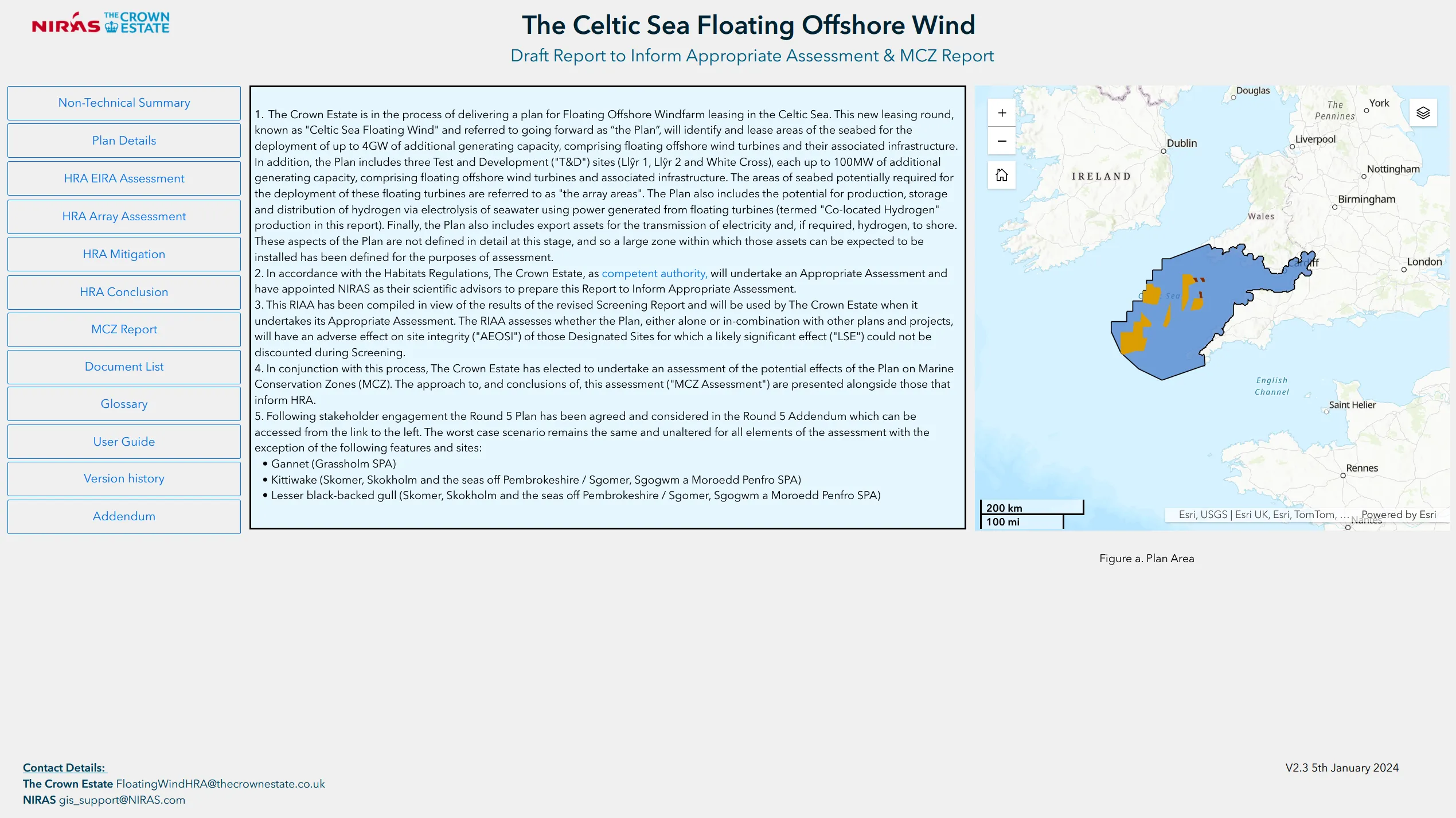
Presenting large volumes of technical and spatial information in a format that is accessible, engaging, and easy for stakeholders and the public to navigate.
NIRAS developed interactive digital reporting platforms using ESRI web applications and bespoke visualisation tools. By combining maps, dashboards, media, and searchable datasets, we created user-focused reporting experiences that allowed users to filter, interrogate, and explore information dynamically.
Presenting the report in a digital format, allowed stakeholders to access and navigate through complex datasets, to allow for efficient stakeholder engagement. Enhancing engagement and streamlining the consultation process.

